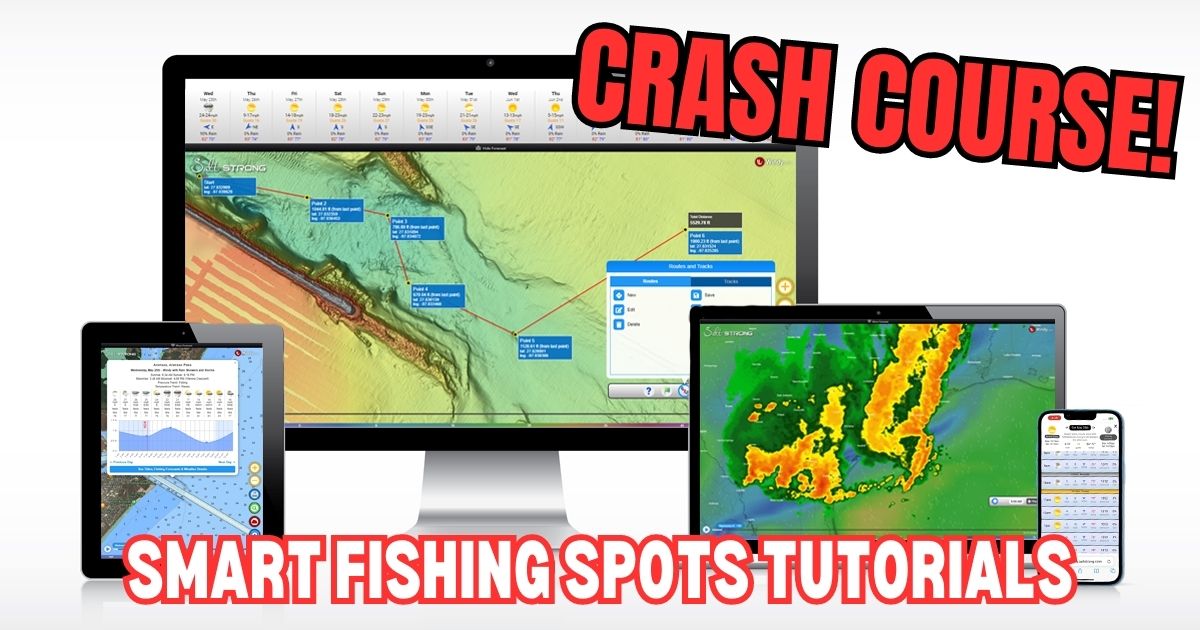
Welcome to Smart Fishing Spots!
The following videos will help guide you through how to effectively use the Smart Fishing Spots software.
Here are the topics that will be covered (you can click on a specific topic below to go straight to the video):
Introduction:
(Click On Any Of the Links Below to JUMP to the video)
- Smart Fishing Spots Overview
- How To Download App
- Adding SFS To Your Home Screen [Android Devices]
- Adding SFS To Your Home Screen [Apple Devices]
- How To Check The Weather
- Tide Stations & Strike Score
Map Layers:
- Smart Spots Layer
- Public Lands Layer
- 1 Foot Contours Layer
- Oysters Layer
- Seagrass Layer
- Artificial Reef Layer
- Boat Ramp Layer
- Kayak Launch Layer
- Shaded Relief Layer
- Marine Chart Layer
- Satellite Imagery Layer
Tides & Weather:
Tools:
- Waypoints
- Finding Current Location
- Distance Measurement
- Compass
- Creating Tracks
- GPS Settings (Degrees & Decimal)
Misc:
Smart Fishing Spots Overview
 Back To Top Of Page
How To Download App
Adding SFS To Your Home Screen [Android Devices]
Adding SFS To Your Home Screen [Apple Devices]
How To Search For A Location
How To Check The Weather
Coming soon


how do you get the AI generated plan for a specific time in the all I get is a plan for the current time I’m usingh
Trying to understand what symbols represent on the charts solid black dots, upside down T’s, and dotted circles. Any help would be awesome.
I saw a black center console boat with Salt Strong on the side this morning across from Harbor Branch in Fort Pierce .How did y’all do?
That would be Captain Peter Deeks! I’m sure he caught some monsters out there.
Anyone interested in shore fishing tomorrow?
Please tell me y’all have a fix for the issues. The old app was quicker to load than the new one. This thing is some kind of slow. If there is no fix I would really like my money back, it’s a waste of time waiting on it.
Why does the new app run so slow?
on my waypoints I don’t have the info button to put on my map, how do I fix this
I am having trouble with my maps loading timely when I am out on the water following my user defined route. Is there some way of “caching” the maps particular to the route I am fishing so that I am not hanging trying to get the maps refreshed and downloaded when I’m out on the water in an area with little or no internet access. Which is most of the time for me. Again, no problems when I’m home defining my route, loading my layers etc,.particular to the route I will be following out on the water. Just can’t get the maps once I am away from my ethernet or WiFi connection. Would like to be able to “cache” the maps BEFORE I go out there.
Jim Delle Bovi
I’m in Marathon trying to use your app with artificial reef option. I don’t believe your lat and lng are correct for the artificial reefs. Using a standard chart there is a sunken boat 1-1/2 miles out at 24.4418 / 81.0625. Your lay/lng have it at 24.736193 / 81.10473. Which is off my chart and ~ 20 miles into the Gulf. TY
They do have the video above for changing the GPS settings just above. In the past I have had that problem converting different #s. If you go online they have lat long conversation tables. All you do is put in the original numbers u have and they automatically spit out the updated format.
http://www.csgnetwork.com/gpscoordconv.html
I have used this one in marathon before. The bottom box worked best for me. I head down to marathon in 2 weeks how’s your trip been
I am not able to see the hourly Strike Scores on the daily Tides/Strike Scores on my iPad. I have been able in the past to see them but recently nothing displays when I either click on the bar graphs or move the red cursor line.
Hey Dennis, the strike score changes by day, and the feeding times are hourly. The feeding times (bars) are lightly highlighted in the background of the tide chart.
Do those feeding times (bars) not have a strike score as well? For some reason I thought the earlier versions of the app had hourly scores within a given day.
I just looked at the original Fishhook app (sfs.saltstrong.com) and indeed each hour displays a Strike Score. The current Waypoint app doesn’t have this information for some reason. Will that feature be added to the Waypoint app (saltstrong.com)?
I just looked at the original Fishhook app (sfs.saltstrong.com) and indeed each hour displays a Strike Score. The current Waypoint app doesn’t have this information for some reason. Will that feature be added to the Waypoint app (saltstrong.com)?